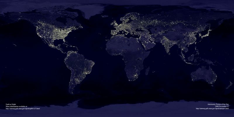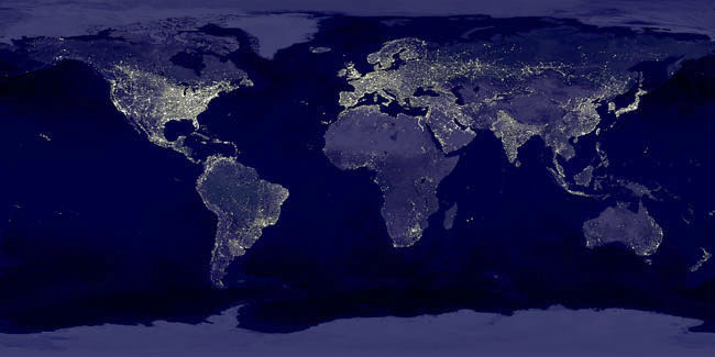
This image is from a NASA website showing a composite image of the world's night skies called "EARTH LIGHTS'. The brighter spots show the urban centres, with their higher power usage. America has blazing lights and so has the developed world.While this is as expected,what is surprising is the even light distribution in India.The constellation of India's towns and cities are spread out remarkably evenly across the entire country.This is unlike China,Brazil or Russia, the other three in the BRIC quartet,where the urban centres are either closely clustered ,or scattered spottily across the country.India's vast and distributed urban settlements,over 5000 of them as per the 2001 census spread across 600 districts of the country.Surely and without any doubt India's vast and distributed settlements could potentially be our national assets with proper planning and nurturing.Here take a look at a BRIGHT INDIA
2000 November 27

Credit: C. Mayhew & R. Simmon (NASA/GSFC), NOAA/ NGDC, DMSP Digital Archive
Explanation: This is what the Earth looks like at night. Can you find your favorite country or city? Surprisingly, city lights make this task quite possible. Human-made lights highlight particularly developed or populated areas of the Earth's surface, including the seaboards of Europe, the eastern United States, and Japan. Many large cities are located near rivers or oceans so that they can exchange goods cheaply by boat. Particularly dark areas include the central parts of South America, Africa, Asia, and Australia. The above image is actually a composite of hundreds of pictures made by the orbiting DMSP satellites.
(Editor's note: Contrary to some recent press reports, this site does not have a rotating screensaver version of the above image. Also, unfortunately, we do not sell prints. However, a high-resolution digital version of the image is available (click here or here) and an Earth at Night poster similar to this image can be ordered (click here) from other web sites.
